

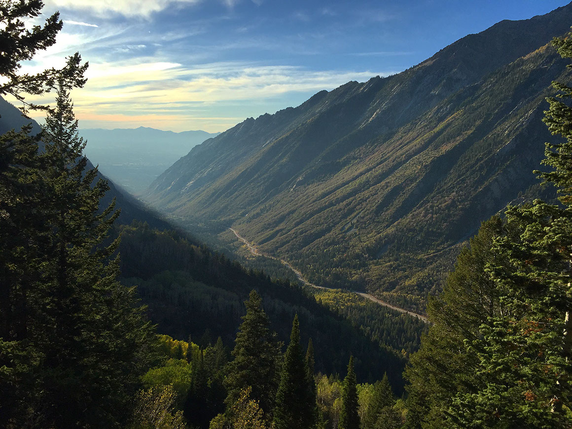
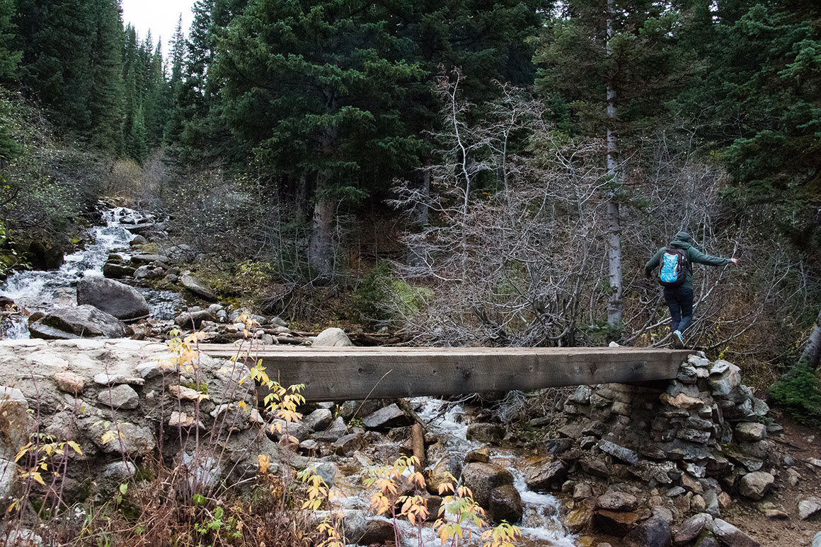
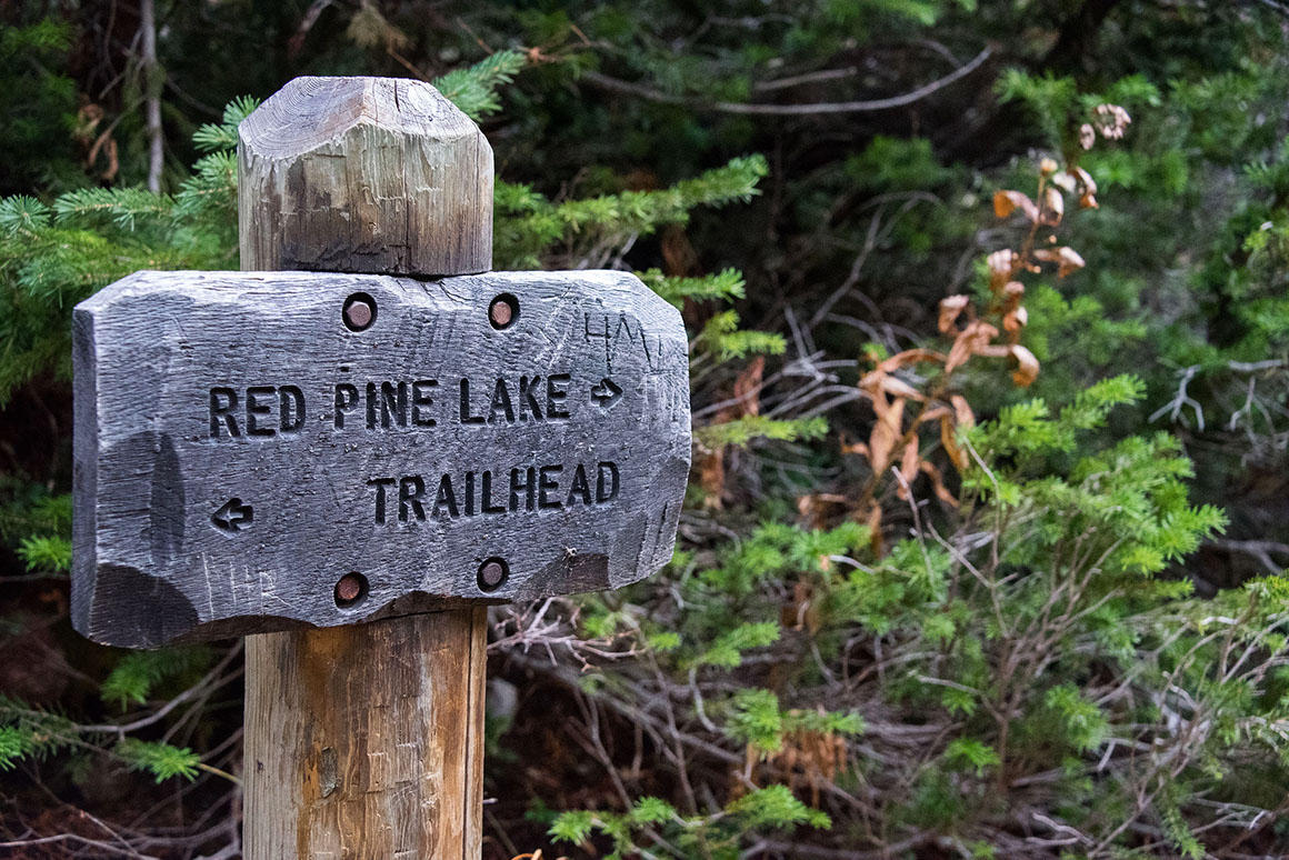
The hike up to Red Pine Lake is absolutely beautiful. The trail is well-maintained and signs along the way keep you on the right path. Once you hop on the White Pine Trail, a bridge will lead you across Little Cottonwood Creek. The trail splits shortly after this crossing. Follow the left fork, which ascends into White Pine Canyon. After a mile of following the trail, you will cross a small footbridge over the stream again. The trail will then lead you through the woods, over the ridge, and into Red Pine Canyon. Crossing the ridge, you will see a sign indicating that you have entered the Lone Peak Wilderness area.
Two and a half miles from the White Pine Trailhead, you will reach a junction. One trail crosses the stream on a footbridge, and leads to Maybird Gulch. The Red Pine Lake trail continues up Red Pine Canyon, on the east side of the Red Pine stream. After another half a mile, you will reach Lower Red Pine Lake. There is no maintained trail to reach Upper Red Pine Lake, but if you follow the stream flowing into Lower Red Pine, you can get there.
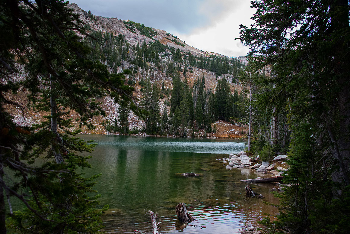
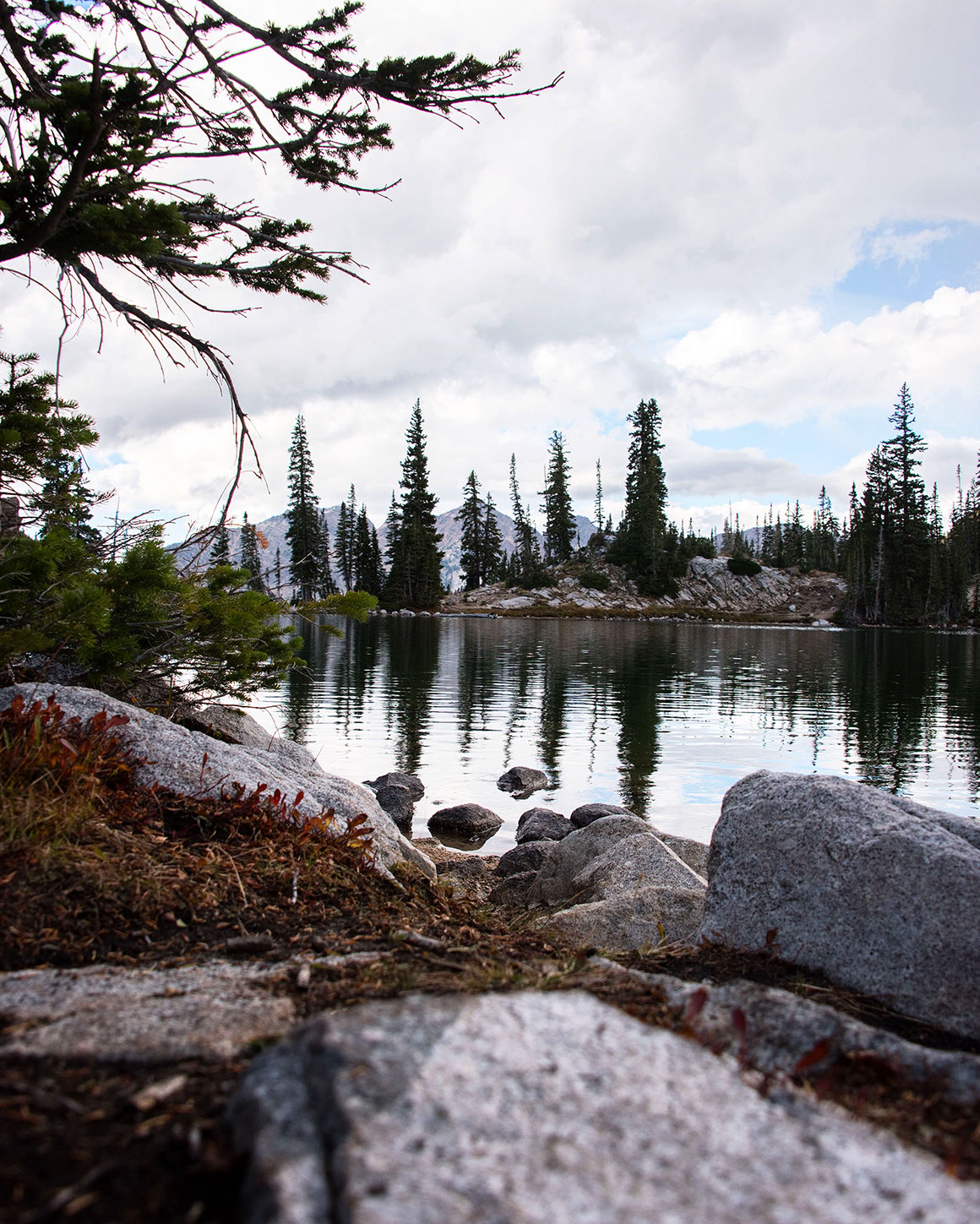
Red-Pine-LakeRed Pine Lake is a pristine, stunning alpine lake. It is well worth the strenuous hike to reach it! On your way up, though, be sure to take the time to enjoy the scenery around you. The pine, aspen, and maple woodlands are gorgeous. We would definitely recommend going in the fall. The changing leaf colors will make the hike even better!
Be sure to keep your eye out for wildlife while you are up there. While on our hike we saw deer, plenty of squirrels and chipmunks, an osprey, and even a moose! Bear, elk, mountain goats, cougars, bobcats, coyotes, fox, porcupines, beaver, badgers, weasels, and pika have also been seen in the canyon. If you’re lucky, maybe you’ll spot one of these guys! We hope you see something amazing, but keep your distance and be safe if you do.
This hike really renewed our appreciation for alpine hikes. So we want to encourage you guys to get out and enjoy them before it gets too cold!
- From I-15, take exit #298, following Highway 209 east.
- After 6.9 miles, Highway 209 meets Highway 210 (Little Cottonwood Canyon Road).
- Follow Little Cottonwood Canyon Road for 5.5 miles. If you reach Snowbird Ski Resort, you have gone too far.
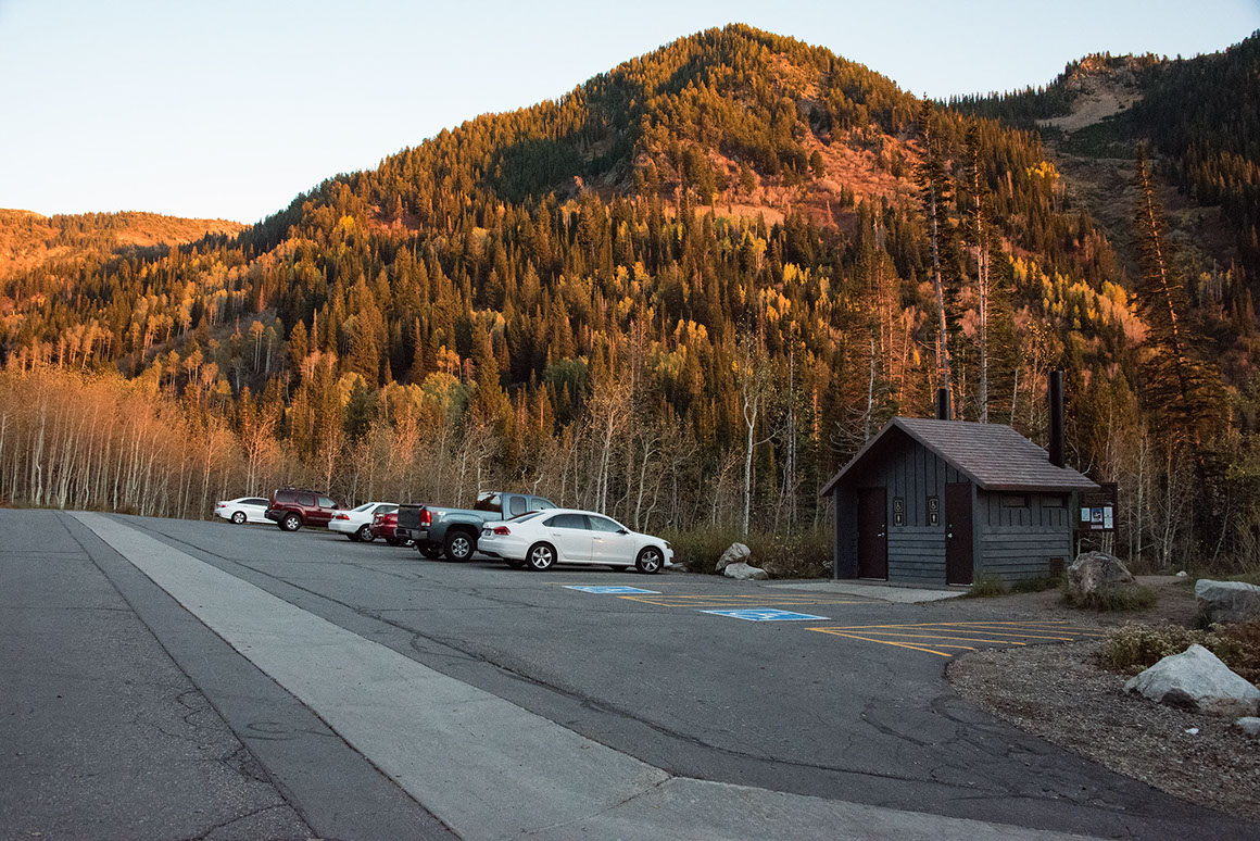
- The White Pine Trailhead is easily identified, there is a paved parking lot, vault toilets, and a trail marker.
Trail Length: 6 miles out and back
Time: 4 hours
Trail Usage: Hikers, snowshoeing, dogs on leashes allowed
Difficulty: Moderate. The last 1 ½ miles of the hike are much steeper and rockier than the first half of the trail.
Elevation Gain: 2,040 ft. The White Pine Trailhead is at 7,580 feet, and Red Pine Lake is at 9,620 ft.